Log No 297. Sun 27th Apr 2014 - Lulworth to Worth Matravers, 15 miles (4527 miles walked)

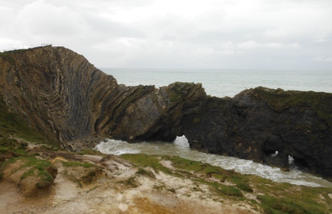
| Stair Hole |
It was a relaxed start at 08.10 as I made my way down to Lulworth Cove and looked at the interesting rock formations at Stair Hole before moving round to the Cove itself.

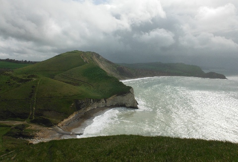
| The coastline from Lulworth |
I was thinking there was a slight improvement in my leg and I was hoping to take it easy again but the terrain wasn't doing me any favours with another day of steep hills and many steps.

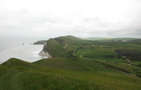
| Looking back to Lulworth & the Tank Ranges |

| The coastline from Worbarrow |
The good footpaths were made more difficult with occasional muddy sections, the mud would cling to the shoes and then just slip & slide on the wet grass.

| The Oil Well Pump at Kimmeridge Bay |
Kimmeridge Bay was a popular spot for surf boarders and canoeists.
After climbing up from the Bay my leg got some relief with a couple of miles of relatively flat walking before the climbing started again going up and down to Capman's Pool.
The weather had finally broken and the sun was very welcome.

| Looking back from St Aldhelm's Head |
I took the shorter option getting across the stream okay and starting up the steep muddy path only to see a path closed notice. Other recent footprints showed I was not alone in coming this way so I carried on, it was very steep and slippery but manageable.
Getting up onto the top it looked flat right round St Aldhelm's Head but there was a final steep drop & climb before I got to the lookout station on the point.

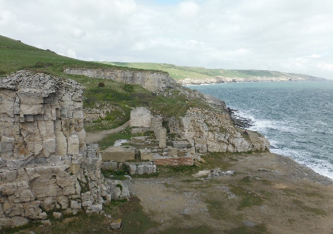
| Winspit |
There were two streams shown on the map not too far away, the first at Winspit was virtually none existant and the second, just before Seacombe Cliffs, was very small but there was a good pitch here so it would have to do.
It was 15.40 making it a slow 2 miles an hour for the 15 miles.
When I collected the water from the stream it was cloudy and a bit muddy, it should make the the porridge look a bit different in the morning.
There was no phone signal here.
