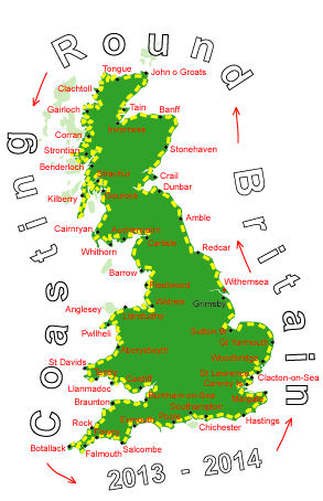
Log No 363. Wed 2nd Jul 2014 - Saltfleetby to Humberston, 17 miles (5546 miles walked)

| The footpath to Saltfleet |
A footpath from here went along the edge of the dunes into Saltfleet.

| The footpath from Donna Nook |
I walked on the main road to North Somercotes and then took a minor out to the dunes car park just west of Donna Nook.
There was a new sea defense for flood management and I walked along the top of this to meet up with the existing embankment along the edge of the salt marsh.

| The footpath to Horse Shoe Point |
The next section of embankment did not have any footpaths shown on the map but I hoped I could walk along it, forever the optimist!
I had been going a few minutes when, ahead of me, I could see a gate across the embankment with a notice on it. I was thankful to read that it was a "Permissive Path" from here on.
Looking out to sea I could see a lighthouse not too far offshore, it looked like it was on a small island and it took me a while to realise I was looking at Spurn Point on the other side of the Humber.
What had initially thrown me was that there were no ships coming in or out of the river, I could see one stationary ship with two tugs or pilot boats in attendance, but that was it. The Humber is supposed to be one of the busiest rivers for shipping, when I have been on Spurn Pt in the past there has always seemed to be queues of ships in both directions.

| Looking across the River Humber to Spurn Point |

| The footpath along Louth Canal |

| The beach at Humberston Fitties |

| The Grenwich Meridian Line at Humberston |
Where I had stopped there was a signpost and a line across the walkway marking the location of the Grenwich Meridian Line (the 0 degree Longitude) where it passes through Lincolnshire.
17 miles in 6 hours today and a bed to sleep in tonight.