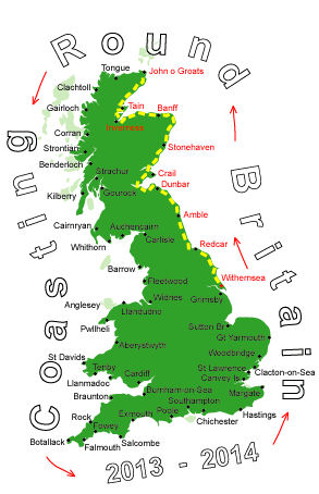
Log No 54. Fri 31st May 2013 - Brough to Thurso, 18 miles (930 miles walked)

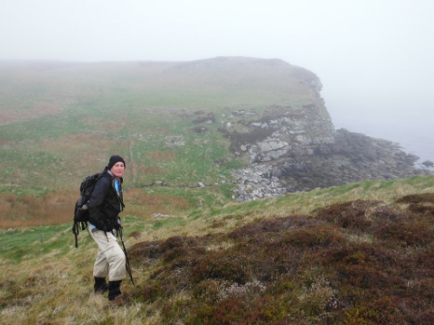
| Mick at start of walk on Dunnet Head |
It was an early start so we could catch the 06.55 to Dunnet, we had to get back to Brough but the first bus to Brough wasn't until 10.00 so we had a 25 minute walk from Dunnet.
We left Brough at 07.40 walking up the road to get to the start of Dunnet Head, there was no path shown on the map but there was some evidence on the ground, which made the going reasonable.

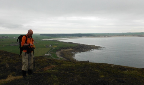
| Dave at Dunnet Head |
It took us 50 minutes from the end of the road to get to the lighthouse, with the poor visibility we were almost right at it before we could see it.
Dunnet Head is the most northerly point on mainland Britain.

| Red Geo |
We occasionally got to see the sea at the bottom of the high cliffs but we had no other views, so when a geo suddenly appears it is quite dramatic.
We stopped just before we got to Loch of Bushta and had our first lunch break, while we were here the cloud started to lift and we watched a boat hauling creels far below us.

| Mick coming off Dunnet Head to Dunnet Bay |
Then it was a grassy path outside the fields to the sand at Dunnet Bay where we spent a while talking to a couple from Pontefract who were up on holiday, they were going over to Orkney tomorrow.
We stopped at the Castletown end of the Bay for the second half of our lunch.

| The coast at Clardon |
We walked outside the fields again for a bit then had to get down onto the rocky shore, the relatively horizontal rocky slabs were a big improvement on stones.
Just after Murkle Bay we went back up onto the grass and found a surprisingly good path.

| Mick coming into Thurso |
We had made good time today, getting to Thurso for 14.40, and all the 18 miles had been along the coast as well.
The rain cleared up shortly after we were back at the tent.
I forgot to mention yesterday that we broke a tent pole again, identical to the break in the first week of the walk.
Mick heads home tomorrow and I shall miss his company but I'll not be alone for long as Sandra is coming across later in the day with the campervan for a week.
