Log No 57. Mon 3rd Jun 2013 - Melvich to Bettyhill, 24 miles (977 miles walked)

| The coastline after Portskerra |
To save Sandra having to drop me off or pick me up I decided I would catch the 07.00 bus from Bettyhill to Melvich and walk the 25 miles back to the campsite.
I walked onto the beach from the car park and round to the pier at Portskerra where there was a footpath to the slipway.
After a very short section of road I got onto the cliffs. This is a very rugged coastline of mostly high cliffs and steep slopes. All the stream outlets required a long detour or a steep drop and climb.
Sheep tracks made the going a bit easier and there was always one going in my direction.
Sticking to the cliff I got to the ruins of an old fort at Baligill and was going to write some notes on my maps but discovered they were no longer in my pocket.
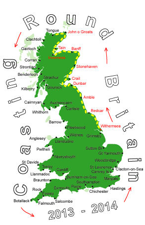
My maps are A4 printouts from the computer showing just the strip along the coastline and a days walk may be over 3 sheets.
I had only lost the maps in the last 15 minutes but trying to find them would be pointless, it's not like I could get lost I just have to keep the sea on my right, in any case I had all the maps on my phone.
Dropping down from the cliffs to the beach at Strathy Bay I managed to get across the River Strathy without getting wet then climbed up the other side to get onto the road.

| Looking back over Strathy Pt to Orkney |
I stayed on the road to the lighthouse at Strathy Point. One of the fields I passed was an active peat bank and had 4 peat stacks in it, this seems to be a rare sight these days.

| The coastline from Strathy Pt |
The coastline continued to be rugged but I managed to avoid most detours by finding a place to cross the streams, if the sheep can do it then so can I.

| Getting the creels ashore |
With all the high cliffs and few accessible bays fishing is not an easy activity but one enterprising person has set up a pulley system to winch the creels up to the top of the cliffs.
From Armadale I stayed on the cliff top for a while, it was becoming hard work so I decided cut across the hills to Kirtomy. It wasn't any easier but it saved some time.
The end was almost in sight, or it would have been if I had my maps, only another 6 miles to go. I stuck by the coast and eventually made my final descent onto the beach at Farr Bay and got to the campsite in Bettyhill for 17.30.
It had been atough 24 miles, fortunately the weather had been kind, mainly sunny with a cooling breeze.
I had hoped to get to Durness while Sandra is still here but with this terrain I am not going to do 65 miles in the next 3 days so I am going to relax, take it easy and enjoy the weather, I can't believe I haven't seen a midge yet!!!