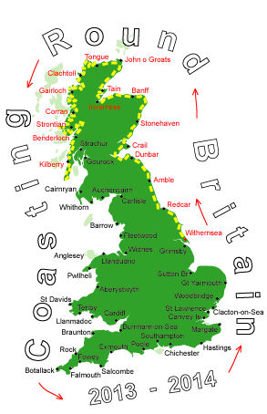
Log No 127. Tue 10th Sep 2013 - Campbeltown to Carradale, 14 miles (1971 miles walked)

| Campbeltown |
Alan & Jannet, from the campsite, also gave me a donation, I was chatting briefly to Alan while I was about to brush my teeth and he made an online donation as soon as he got back to his campervan.
Thankyou all.

| Island Davaar |
This was my third time on this road so I knew what to expect.
The tide was going out making Island Davaar accessible from the mainland.

| Kildonan Dun |
Kintyre seems to have lots of remains of old forts and duns. I stopped to look at Kildonan Dun since it was near to the road.
A dun is a defensive farmstead and this one was first built in the 1st or 2nd century AD.

| Goat Fell, Arran |
The gradients started at 12%, went to 14% and finally 16%. Though they seemed a lot steeper from inside the bus.
The two constant views from this road were the big lump of rock Ailsa Craig and Arran.

| Kintyre Way to Waterfoot |
This went right on the shoreline and is not passable when the tide is in. Only when I had got round to Waterfoot did I see a footpath sign that said "Low water route to Torrisdale".
The campsite was the other side of the wide river, Carradale Water, and so generally meant a bit of a detour.
Luckily the tide was out and had exposed stepping stones, only one near the middle was slightly under water.
When I walked by on the other side yesterday I had seen the footpath sign pointing across the river and thought "How do you get across that?", the tide was high enough that the stones weren't visible.

| Carradale Water |

| Stepping Stones |
It had been an easy 14 miles in 5 hours, tomorrow will be longer with a full pack and a wild camp.