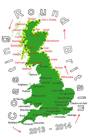
Log No 164. Sat 19th Oct 2013 - Mutehill to Auchencairn, 15 miles (2532 miles walked)

| Dave & Mick |
It seemed to have rained solidly through the night and showers continued while I was waiting for Mick but they had stopped by the time Mick had arrived.
Most of the area south of the A711 between Mutehill and Dundrennan is restricted as it is an MOD training area although access is permitted if the range is not in use.

| Mick at Torrs Point |
From here we were able to pick up the MOD Access Route, this is not shown on the OS map but I had got a leaflet from Tourist Information that showed it.

| Dave at Netherlaw |

| Mick at Orroland |
The first mile was a footpath through fields of cattle.
Unlike the previous days when the cattle had just ignored me these were a bit more inquisitive and thundered up to us before then trying to get out of our way.
The weather had remained dry and overcast although the sun did seem to be shining on a big wind farm in the Solway Firth that we were able to see from a view point on the main road.
We finished the day at Auchencairn taking 5 hours to cover the 15 miles which, contrary to my forecast, where all dry.

| Looking out to a wind farm |