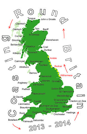
Log No 14. Fri 12th Apr 2013 - Beadnell to Beal, 18 miles (237 miles walked)
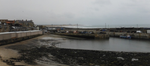
| Seahouses Harbour |
Coming into Seahouses I could see Bamburgh Castle ahead of me, Holy Is in the distance and the Farne Islands on my right.
I got down onto the sand as soon as I could, there were a lot of dog walkers about today.
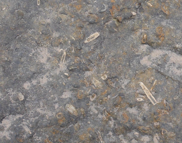
| Fossils in the rock |
I carried on past Bamburgh Castle and stopped for a break at 10.00 on a bench by the lighthouse just past Bamburgh.
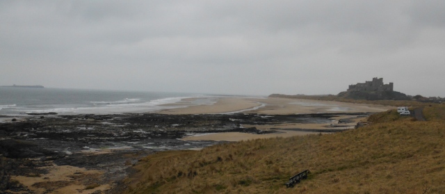
| Looking back to Bamburgh Castle |
The tide was well out and I reckoned that if I could get across the river running through Budle Bay I could continue around Ross Links then try and walk along the edge of the fields at Fenham Flats.
The map showed the river close by Budle Point and I could see dog walkers going across okay so I decided to give it a go.
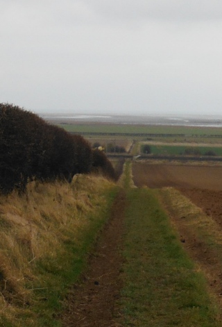
| Looking to Holy Is causeway |
The dunes on the other side were getting closer all the time as I motored across.
I must have been well over half way over and I was congratulating myself on coming this way when I came upon the real river, it definitely wasn't shown here on the map, it must keep shifting.
Well there didn't look to be an easy way across this time, I went closer to see if I could wade across but before I got anywhere near the edge my foot suddenly sank into the sand well above my ankle. Did I shift? too right I did, I had visions of the tide coming in quicker than I could find a way back to the shore.
I followed the course of the river back to the shore, giving myself a couple more scares in the sinking sand before finding solid ground.
After that it was an easy decision to take the boring detour and walk on the roads.
It started to rain heavier at 12.00 so I put on waterproofs.
I got off the roads after 3 hours when I picked up the Coastal Path again at Fenwick Granary.
I never quite got to the coast again as I turned off again near the causeway to get to the Barn at Beal where I was to camp for the night, an early finish at 14.55 having walked 18 miles.
