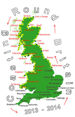
Log No 229. Wed 29th Jan 2014 - Pendine to Carmarthen, 23 miles (3504 miles walked)

| Laugharne Castle |
There was very little wind and the heavy looking grey clouds just hung overhead.
With the MOD occupying the land along the coast from Pendine I had no option but to walk on the main road.
The Wales Coast Path organisers have tried to keep the Path off the road by, where they have been able, acquiring a strip of the field next to the road.

| River at St Clears |
I got to the River Taf at Laugharne, had a quick break, just before a light rain shower came on, and continued on the road as it turned north to follow the river and cross it at St Clears.
A subsidiary also came into the Taf at St Clears and after crossing it took a footpath through some fields to get onto a minor road.

| Footpath through fields |
I got to the River Towy at Llansteffan after 5 hours of walking. From here the B4312 followed the Towy for 8 miles into Carmarthen.

| Llansteffan |
WCP signposts kept pointing away from the road but as the Path isn't shown on the map I stuck to my own route, the Path kept rejoining the road at intervals anyway.
I finished in Carmarthen at 16.35, taking just under 7.5 hours for the 23 miles.
Walking conditions will be similar tomorrow as I come back down the other side of the R Towy.