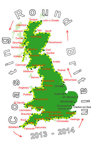
Log No 317. Sat 17th May 2014 - Sandwich to St Nicholas at Wade, 22 miles (4871 miles walked)
I had a more relaxed start this morning as my train back to Sandwich was at 08.15, I would have preferred to catch the one an hour earlier but that would have been too much of a rush.It only took the train 10 minutes to get to Sandwich and from there I crossed over the River Stour then took the minor road north to Great Stonar and then the cycleway alongside the A256 to Cliff End and Pegwell Bay.

| Looking to Ramsgate across Pegwell Bay |
The River Stour flows east to get out at Pegwell Bay but with the land around being so very flat the river actually loops south into Sandwich and
at one point is only a road's width away from itself. At this point there is a channel dug, the Stonar Cut, to short circuit the loop but it normally shut off with a sluice gate.
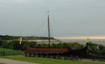
| Viking Ship at Pegwell Bay |
Pegwell Bay was the traditional landing place of the Saxons in the year 449 and also where St Augustine, came ashore in 597.
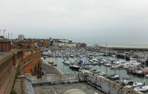
| Ramsgate |
The stony foreshore has been left behind on the south coast and all the beaches are now sandy.
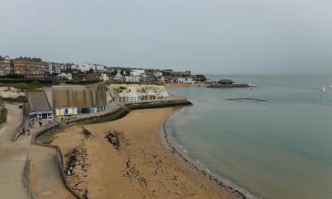
| Broadstairs |
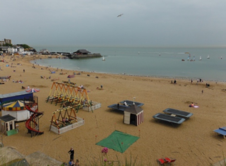
| The beach at Broadstairs |
The beaches were filling up and some of the many beach huts were in use.
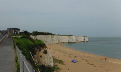
| The coastline at Kingsgate Bay |
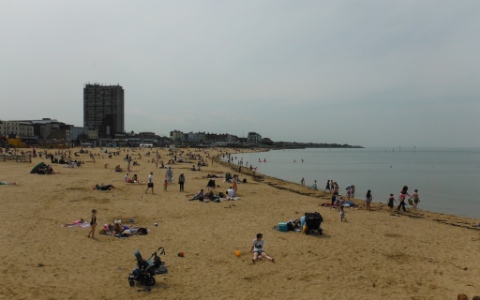
| The beach at Margate |
There were also small tea and drink parties going on outside some of the beach huts.

| Looking back to Margate |
I turned around to walk back then met Chris striding along, I said to him I didn't think he could get much further if he was hoping to continue in the same direction.
He said he was sure there was a way up the low cliffs, admittedly I hadn't gone right to the very end so I turned around again and walked with Chris as we walked past the cyclist just to find there was definitely no way up. Ah well, we had a pleasant chat.
It was after 3 o'clock and I still had a good couple of hours to go, the campsite was inland a bit so I decided to save some time by taking a more direct line to the site by using the main road. This was a busy road but fortunately there was a cycle path alongside and I got to the campsite at 17.15.
Another walk today of 22 miles but the later finish and the fact that I had sandwiches to make up meant it was near to 8 o'clock before I finished my tea.
I had dropped off while writing the log and woke to find it was 10.30pm, I was too tired to continue writing so it would be a very early start in the morning to complete it.
