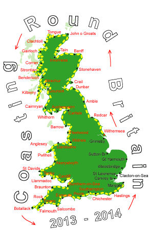
Log No 316. Fri 16th May 2014 - Folkestone to Sandwich, 21 miles (4849 miles walked)
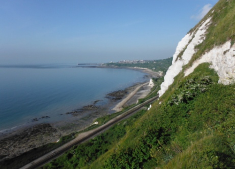
| Looking back to Folkestone |
I couldn't see any way up the side of the cliffs but according to the map there is a path. After crossing over the railway line via the footbridge there was a footpath along the railway fence, which, after a while, started to climb up the side of the cliff.
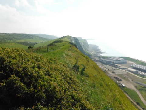
| The North Downs Way into Dover |
This was an easy path along the top and the last section, before the descent to road into Dover, was along a ridge which seemed oddly out of character along the coast.

| The view from Dover Marina |
Aside from the ferries coming and going the two prominent features were Dover Castle on the hill and the White Cliffs.
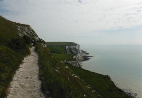
| Ascending the White Cliffs out of Dover |
The North Downs Way heads inland from Dover but the Saxon Shore Way continues along the cliff top.

| Singing to the Ferries |
The port of Dover was very busy with ferries constantly coming and going and I thought I could hear voices from the ferries until I realised there was someone standing alone on a small hillock looking out to sea and singing loudly while playing a guitar.
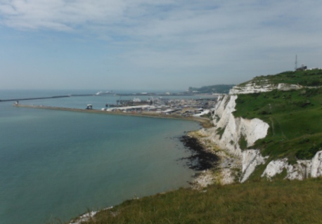
| Looking back to Dover |
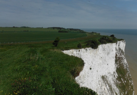
| The coastline from St Margaret's at Cliffe |
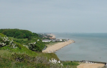
| Looking down to Kingsdown |
I stopped on a bench near the castle at Walmer to finish my lunch, it was 12.40 and my campsite for tonight was just inland from here.

| The castle at Deal |
There was another castle at Deal which looked to be of the same design as the castle at Walmer.
I had enjoyed the walk up to Deal but this last 6 miles seemed a bit of a slog, I think It was just psychological as I was walking away from the campsite.
I got to the railway station at 15.00 in plenty of time for the 15.35 train and I was at the campsite, Clifford Park Caravans, for 16.00.
The owner of the site, Roger, gave me a spot close to an electric hook-up and gave me a cable to plug in so I could charge up my phone.
While I was cooking my tea Roger's wife came over and said she had been looking at my website and gave me the site fee back and a £10 donation.
21 sunny miles.
