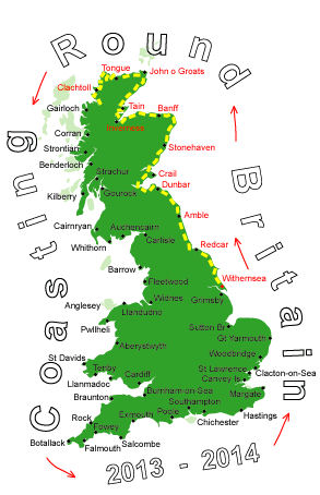
Log No 74. Fri 21st Jun 2013 - Ullapool to Beinn Ghobhlach, 20 miles (1228 miles walked)
I can't say that I was looking forward to today's walk, a combination of factors: the extra weight of having to carry enough supplies for 3 days, walking miles on a main road up the loch then back down the loch on the other side and then the uncertainty of the terrain & whether the footpath exists.I was almost tempted to get on a bus and come home early, but that would just postpone the walk.
It was low clouds when I started and the rain came on after an hour but it was light enough to only warrant putting on my jacket.
At least the main road along Loch Broom was fairly flat and it only took 2 hours 15 mins to get to the first bridge.
The minor road on the other side was more interesting and came to a dead end after 5 miles. That's probably why most of the properties strung out it seemed to be holiday lets.

| Rocky coastline |
After passing through a field of cows with a bull I got to the shore.
I only planned a couple of miles of staying close to the loch, having studied it from Ullapool there just looked to be a couple of places that might present a problem.

| Looking across to Ullapool |
I picked up a good deer trail which took me through the first small wood and stream and then the same again and round the back of the isolated and inhabited house. It had an access track going up over the hill to the other side.

| Isolated hose and track seen from Ullapool |

| Ullapool from the hill |
Starting from the highest point on the access track follow a compass bearing to the first ridge, contour round the head of the glen to the small loch at the bealach, drop down to the next loch following the stream, contour round the base of some cliffs to get onto the northwest shoulder for the final descent to a path.
To think that I have been doing just this very thing for years when climbing Munroe, without a second thought.

| Loch a' Bhealaich |
It was 14.00 so I was going to have to spend the night in the hills.
By the time I got to the loch at the bealach it was 16.15 and this was a good place to stop.
20 miles in 8 hours 20 mins, let's hope for decent weather tomorrow to get off the hill.