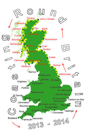
Log No 172. Mon 28th Oct 2013 - Carlisle to Abbeytown, 29 miles (2651 miles walked)

| Hadrian's Wall footpath |
It was dry when I left but it soon came on a shower and then I was all in black!
I took a minor road out of Carlisle on the southwest side of the River Eden and at Kirkandrews I got onto a short section of Hadrian's Wall Path, not that there was any evidence of the Wall.

| Tidal Flooding signpost |
It is all very flat round here and prone to tidal flooding.

| Coastline at Port Carlisle |
Bowness-on-Solway marks the end of Hadrian's Wall.
Patches of blue sky allowed the sun to come out occasionally but I needed to keep my jacket on with the cool wind.

| Looking across the Solway Firth |

| Anthorn & River Wampool |
The road went through Newton Arlosh then crossed over the River Waver to Abbeytown.
Just before this bridge there was a layby/waste ground ideal for my campsite tonight.

| Abbeytown |
This has been my longest walk so far at 29 miles and with the buses only every 2 hours I had to go at a good pace and I got here in 9 hours. It certainly put my new walking shoes to the test and they seemed to have passed with flying colours.