Log No 147. Wed 2nd Oct 2013 - Ardrossan to Ayr, 22 miles (2290 miles walked)

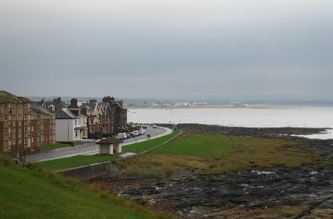
| South Bay, Ardrossan |
I had intended leaving the campsite at 07.00 to go to the bus station, I didn't wake up until 7. It was after midnight when I finished the log then I read for an hour to finish a book.
It was 09.30 when I got to Ardrossan to start walking in the rain.

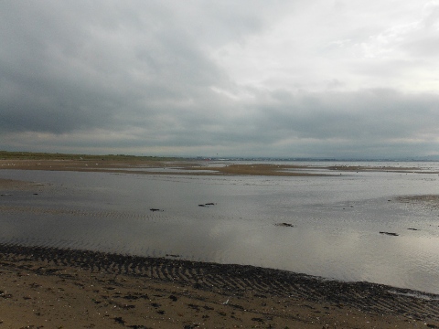
| The beach from Saltcoats |
I went round the headlands at Ardrossan and Saltcoats following the Ayrshire Coastal Path (ACP), then along the beach to a small headland where I took a break.
At this point the ACP headed inland but I stayed on the beach, the River Irvine, in the middle of Irvine Bay, had to be crossed but the map showed a footbridge across it to a car park.
I wondered why the ACP didn't come this way, I presumed it was possibly because you might get into difficulties at high tide, the dunes had security fencing on top and some of the sea wall couldn't be climbed.

| Footbridge over River Irvine |
So that's why the ACP doesn't come this way.
The central section looks to have been purposely removed to stop access across the river. There is a big building on this side of the river which was obviously a tourist attraction and you can see through the glass frontage that everything is still in place.
There was another bridge further up the river but as I didn't know if I could get access (high security fences all round the works) I had no alternative but to return the way I had come.
Having lost 2 hours and 7 miles I was not going to get to Ayr as planned. I decided that as I had effectively walked the distance I would catch a bus to Troon and carry on from there.

| Sawmill at Troon |

| Looking to Prestwick from Troon |

| The stream near Prestwick |
If I couldn't cross it I would only need a small detour to get over it.
The stream was quite wide but not deep, I could either take my boots & socks off or put my gaiters on and hope they keep the water out. I put my gaiters on. No problem.

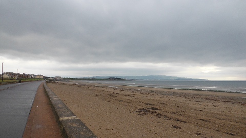
| The beach at Prestwick |

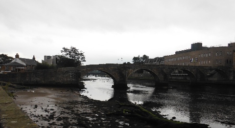
| Bridges in Ayr |
There was no public access so I followed the cycleway signs into the town.
At the River Ayr I took the riverside walk up past Ayr College back to the campsite.
It was 17.10, much later than I had expected for walking 22 miles.
